RECOMMENDED ITINERARY
Aoraki and Lake Pukaki
A suggested itinerary based in Aoraki/Mount Cook Village or Twizel. Allow 2 days.
A suggested route for your own trip, inspired by the Journal’s locations. It is not a record of Andy’s personal itinerary.
Editorially reviewed 16 September 2026 · confirm live access before travelling.
Your suggested route
The times below are suggested allowances, not live opening hours or transport schedules. Adjust the order for your arrival time, bookings and conditions.
Day 1 morning · Lake Pukaki approach
Travel towards Aoraki/Mount Cook with time for legal roadside viewpoints over Lake Pukaki. Stop only where parking is provided; never brake abruptly or stand in the road for a mountain photograph. Allow a slow arrival rather than treating the drive as a fixed-speed transfer.
Day 1 afternoon · Visitor centre and a short walk
Check in and visit the DOC visitor centre for current access and weather advice. Choose a short open walk such as a village-area or Tasman-valley viewpoint only after that check. Leave the longer walking decision for the best weather window.
Day 2 morning · Hooker Valley, if accessible
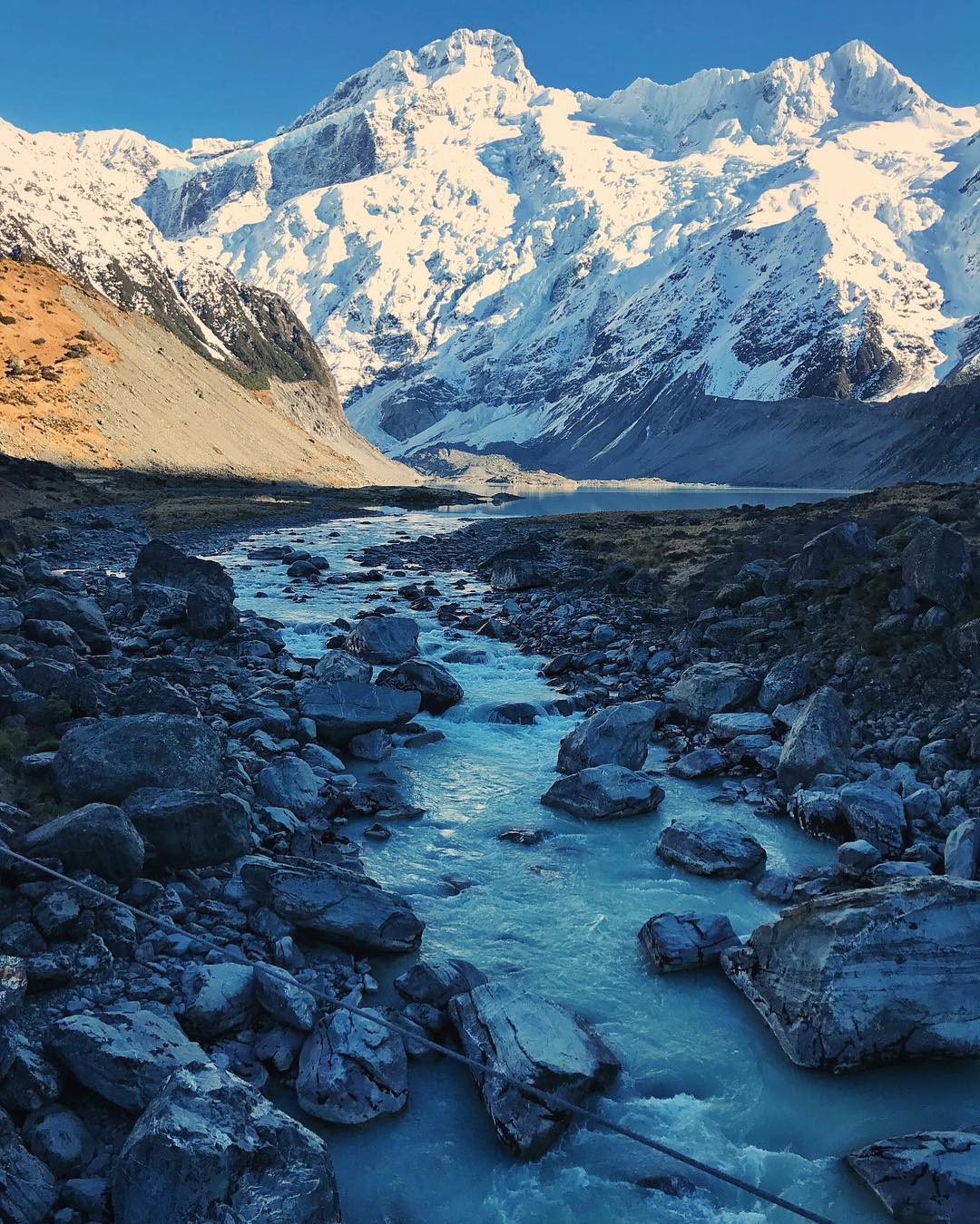
The Hooker Valley route has been affected by bridge replacement and access changes. Use DOC’s current notice to establish the open section and turnaround; this guide does not promise access to Hooker Lake. If the full route is open and suitable, reserve most of the morning for a relaxed return walk with photo and food breaks.
Day 2 afternoon · A measured return
Have lunch and return towards Twizel or your next base with daylight and weather buffers. If Hooker Valley is restricted, use the ranger-recommended open alternative and enjoy more time at the lake viewpoints. Do not substitute a steep alpine ascent simply to match an expected hiking distance.
Visitor information and further planning
Use these destination, attraction and operator resources to check current access and arrangements before booking.
For more travel and everyday moments.
Follow @andypanel ↗